Magnetic, electromagnetic and optical seabed exploration Scientists:Hendrik Müller (now BGR), Christian Hilgenfeldt, Tilo von Dobeneck Methods: Marine Electromagnetics and Magnetics, Rock Magnetics Projects: MARUM Neridis III, SD 1, MARUM-UVigo Neridis II, BGR INDEX
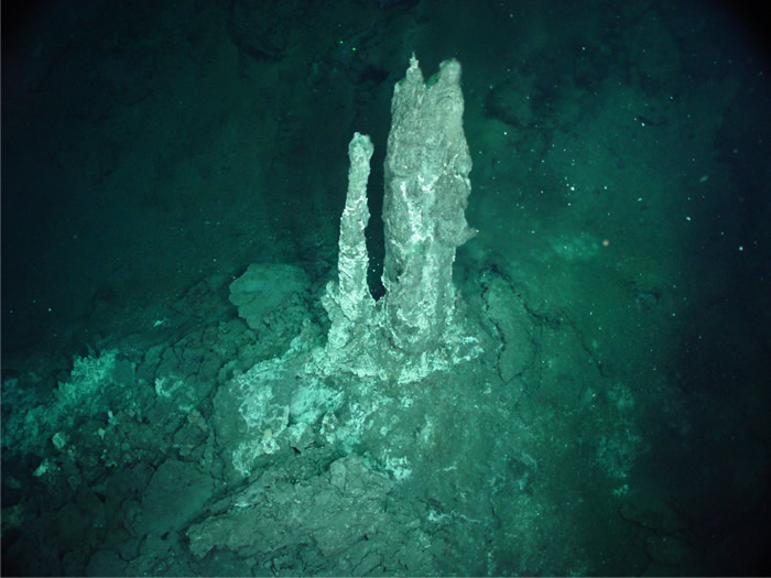
Topics: Marine groundwater discharge and mineral resources such as hydrothermal polymetallic sulphides, ferromanganese crusts, iron and phosphorite sands stand out by their deviant magnetic and/or conductive properties.
We develop and deploy marine benthic profiler systems e.g. for the electromagnetic localization of submarine freshwater seps and for depth and volume estimations of mineral deposits from coast to deep sea. Integrated benthos cameras assess the morphology and biological colonization of the seafloor in order to document and evaluate the ecological impact potential in case of ore extraction.
Summary: Given the high environmental and economic relevance of ocean margins and their geophysical exploration, there is growing need to characterize surficial sediments in coastal and continental shelf systems by more than just their acoustic properties. A newly conceptualized benthic profiling and data processing approach based on controlled source electromagnetic (CSEM) imaging permits to coevally quantify the electric conductivity (~ salinity, porosity and grain-size variations) and the magnetic susceptibility (~ terrigenous or iron mineral content, redox state and contamination level) of shallow marine deposits. This approach has been successfully applied in a number of estuarine and shelf surveys (Baltic Sea, Galician Shelf, NZ Bay of Plenty) with the first and second generation of the benthic EM profiler Neritic Discoverer (NERIDIS II & III). The narrow footprint of the concentric, coaxial CSEM sensor together with a relatively high sampling rate (25 Hz) at multiple frequencies and a tow speed of 3-4 knots enable to cover, resolve and invert sediment patterns of very different lateral extent from sub-meter (e.g., iron ore nodules, UXO) to kilometer scales (e.g., drift bodies, placer deposits) within the same survey operation.
Summary: Exploration and research activities related to marine mineral resources for the strategic mineral planning gains much importance due to rising commodity prices. However, effective methods to locate the mostly heterogeneous and often deeply covered, shallow marine ore deposits are absent.
In order to evaluate the profitability, one needs to access the spatial extend, the quality and the inner structure of a resource. Mining rights can only obtained from the International Seabed Authority (ISA) on the basis of precise prospection data to justify the required high investment and mining costs. Established marine exploration methods are only of limited suitability to explore Submarine Massive Sulphides (SMS), manganese nodules, phosphorites or heavy mineral placer deposits. In contrast, Controlled Source Electromagnetic (CSEM) imaging is ideal to detect marine resource of contrasting electrical conductivity and/or magnetic properties.